Transformational turn taken for Perth
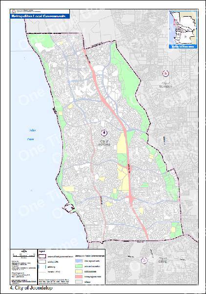
 The Western Australian Government has redrawn the map of the city of Perth, slashing the number of metropolitan councils by half.
Premier Colin Barnett announced the transformational changes this week, saying the cartographic adjustment was the result of years of wrangling to allow WA's thirty metropolitan councils to be reduced to fourteen by July 1, 2015.
“Perth is the fastest growing city in Australia but our local government structure dates back to the late 1800s,” Mr Barnett said, “today is decision day, and we intend to act with speed.”
Premier Barnett has repeatedly said the changes would not be forced on councils, but his position may be in flux.
“A forced amalgamation would be if we brought in a piece of legislation into parliament next week, redraw the boundaries putting it through parliament and achieving it in a week... I said we won’t have forced amalgamations and we have not got forced amalgamations, in 2015 in the unlikely event this is not in place then we will reconsider that position,” Mr Barnett said.
There has been opposition already, with Fremantle Mayor Brad Pettit saying it was not a good fit for his region: “Fremantle always’ been a centre that's had a unique character and watering it down with suburbs all the way to the freeway doesn't really suit our needs, especially when key parts like North Fremantle are being removed
The Urban Development Institute of Australia (WA) welcomed the government’s release, stating: “Whilst the detail of where the lines on the map have been placed are bound to dominate discussions, achieving economies of scale and a more robust planning and approvals system is the goal for the industry.”
Government merger maps are available online.


 Print
Print